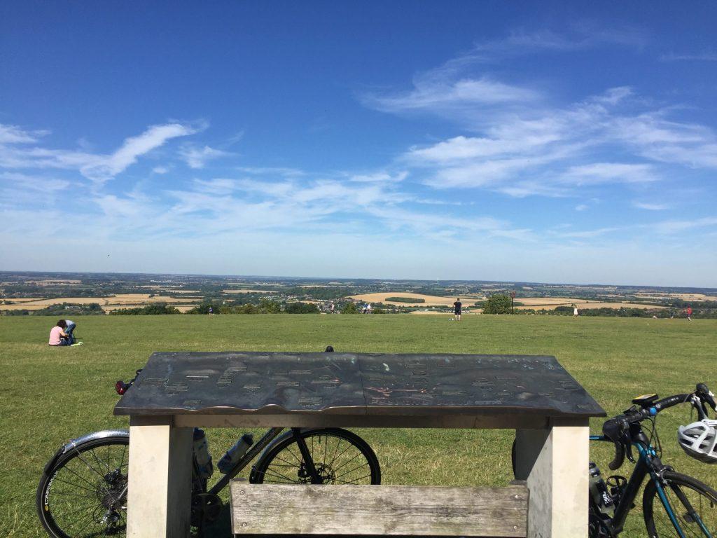
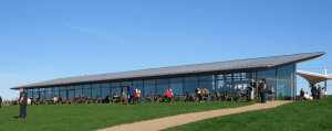
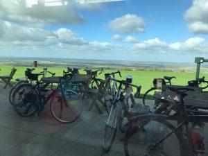
This circular route starts in South Heath and goes through the Lee to St leonards, Cholesbury,D, Studham, Whipsnade and to Dunstable Downs National trust cafe.
The return trip is via Tottenhoe, Eaton Bray, Slapton, Ivinghoe and Aldbury.
Download the GPX feel from the button below.
Distance: 45 miles
elevation: 2,417 ft
[sgpx gpx=”/wp-content/uploads/gpx/Dunstable_Downs_back_via_Tottenhoe.gpx”]
Coffee Stop
The coffee stop is at 21 miles at the
Dunstable Downs National Trust
Dunstable Road, Whipsnade LU6 2GY, UK
the Views at dunstable Downs.

